
Your plots. Your clients. One place.
Every photo, video and paper for a plot in one folder. Send one link. See who opened it.
Five plots is fine. Twenty is chaos.
A pin here, photos there, the lalpurja in an old chat. Every client, all over again.
“Where is that photo?”
Twenty plots' photos and papers, mixed into one camera roll.
“Did they even look?”
Two ticks say delivered. They never say opened.
“Let's just drive there.”
A pin shows a dot — not the school, the hospital or the road. So you drive out again.
Organize. Share. Know.
One folder per kitta — media and papers together.
Photos, videos, lalpurja, naksa, receipts — all filed under the plot they belong to. Your gallery stays clean.
 ▶ 0:48
Stop guessing which client is serious.
Every link is tied to the client you sent it to. Kittaa counts the opens and when. Call the one who looked nine times.
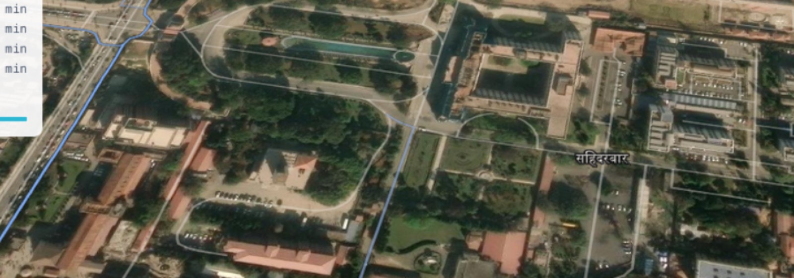
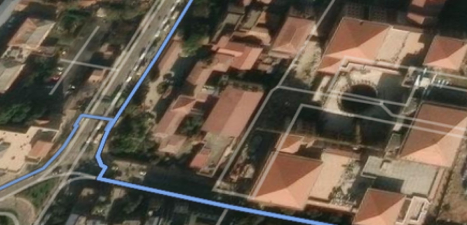
The pin shows a dot. Kittaa shows the tole.
School, hospital, bank, bus stop — with walking and driving times. Your client sees the tole without leaving home.
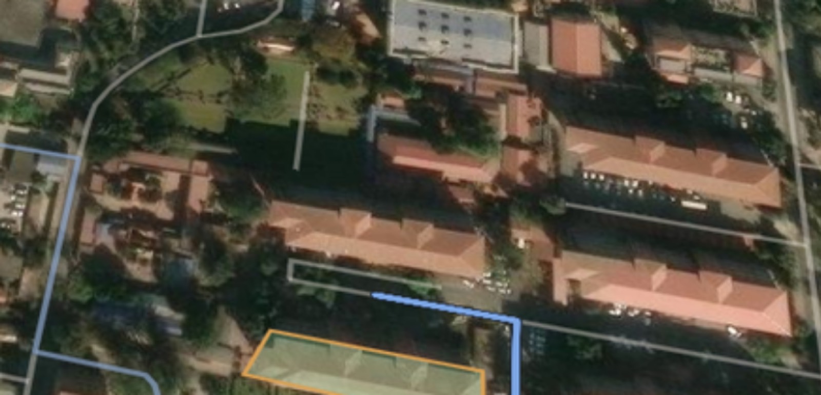
Draw the boundary. Try it here.
Click the corners. The area appears in ropani or kattha, and stays with the plot.
Start free. Upgrade when it pays for itself.
Questions agents ask us.
Something else? Write to support@kittaa.com — we answer in Nepali or English.
Only you, until you tick a document for a specific client. Documents are private by default and never appear on a public link.
Get every plot out of your gallery tonight.
Free to start, first plot filed in about five minutes — and from the next link you send, you'll know exactly who's looking.